
Gete (Bremen)
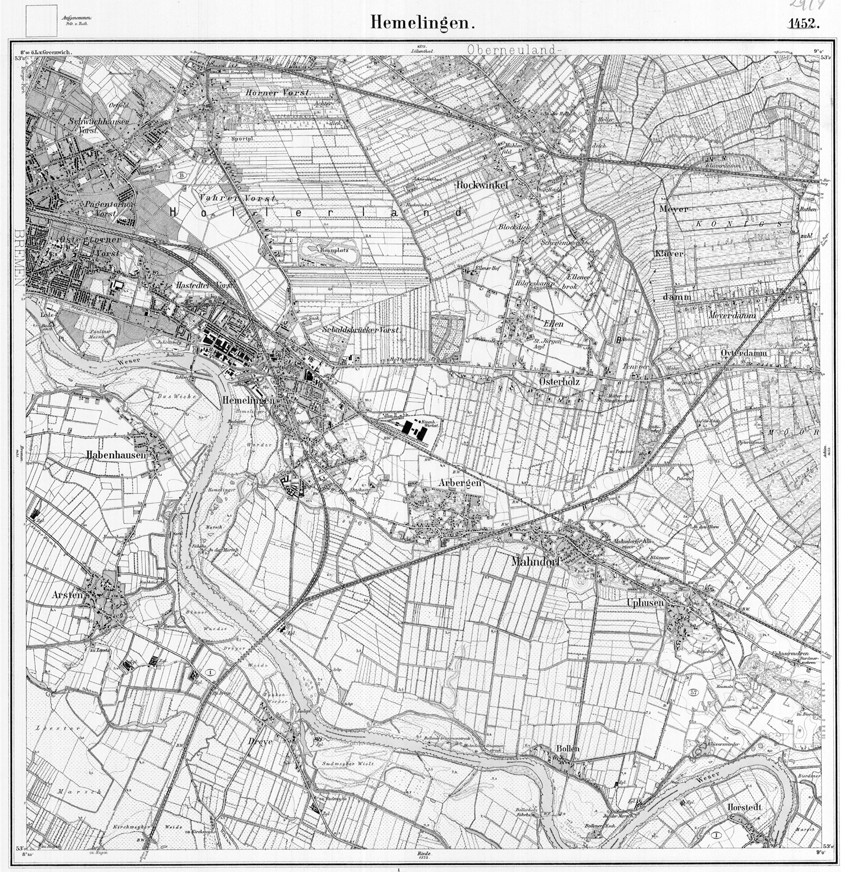
The Gete , historically Gethe , was a watercourse in the east of Bremen . It originated on the edge of the center of Hastedt at the site of today's ADAC high-rise. It was partly fed by a flood arm of the Weser, which branched off from the main stream in the area of today's Hastedter Brückenstraße and found a gap in the Bremen dune next to the Getekamp road . Where the two runs came together, there were the Getekuhlen, two elongated ponds in which fish were caught, one of them on the border with the Pagenthorn field. From there the Gete flowed east of today's street An der Gete and south of Kirchbachstraße to Schwachhausen, through the village and on to behind Gut Riensberg along today's Schwachhauser Heerstraße , then along Ernst-Grohne-Weg to the confluence (location) in the Kleine Wümme south of the Horner church. With the development in the first half of the 20th century, the watercourse disappeared. Only a small pond (location) in the area of the Allotment Garden Association for Silent Peace west of Obernkirchener Straße remains of the Gete as the remainder of the Getekuhlen .
swell
- Dietrich Schomburg: Historical directory of the state of Bremen , Hildesheim 1964
- Bremische Landesaufnahme 1794-1809 by CA Heineken, available in the Bremen State Archives as a reprint: Hans Dörries (ed.), Bremische Landesvermessung 1790–98 :
Web links
Individual evidence
- ↑ A deed of sale from January 20, 1319 names [Bremer Urkundenbuch], Volume 2, No. 587 campi siti in campo vill (a) e Horn (a) e inter fossorium dictum lantwere et aquosum fossorium dictum Ghethe , “Fields in the field mark of the village of Horn between the ditch called Landwehr and the moat called Gete "