Gisela (Arizona)
| Gisela | ||
|---|---|---|
|
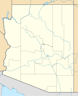
Location in Arizona
|
||
| Basic data | ||
| State : | United States | |
| State : | Arizona | |
| County : | Gila County | |
| Coordinates : | 34 ° 6 ′ N , 111 ° 17 ′ W | |
| Time zone : | Mountain Standard Time ( UTC − 7 ) | |
| Residents : | 570 (as of 2010) | |
| Population density : | 76 inhabitants per km 2 | |
| Area : | 7.5 km 2 (approx. 3 mi 2 ) | |
| Height : | 878 m | |
| Postcodes : | 85541 | |
| Area code : | +1 928 | |
| FIPS : | 04-27540 | |
| GNIS ID : | 0029332 | |
Gisela is a census-designated place of Gila County in the US -amerikanischen State Arizona .
geography
At a distance of around 10 kilometers is Payson in the northeast. Phoenix is around 100 kilometers to the southeast. The Arizona State Route 87 affected Gisela in the east. The Tonto Natural Forest joins 20 kilometers away in the south.
history
The first settlers in the village soon had a school, but a name was still missing. The teacher Carrie Stanton, who was studying the book Countess Gisela (Imperial Countess Gisela) by E. Marlitt with her students , asked the students for a suitable name and in 1889 they decided on the heroine of the novel "Gisela".
Due to the scenic surroundings, tourism is becoming increasingly important for the city.
Demographic data
In 2010 a population of 570 people was determined, which means an increase of 7.1% compared to the year 2000. The average age of the residents in 2010 was 46.4 years, well above the average for Arizona, which was 37.1 years. 18.8% of the residents of Gisela have German ancestors.
Web links
Individual evidence
- ↑ US Postal Service - ZIP Codes https://tools.usps.com/go/ZipLookupAction!input.action
- ↑ profile http://www.epodunk.com/cgi-bin/genInfo.php?locIndex=288565
- ↑ Sophie http://sophie.byu.edu/?q=node/3480
- ↑ city-data http://www.city-data.com/city/Gisela-Arizona.html
