Grand Tavé
| Grand Tavé | ||
|---|---|---|
|
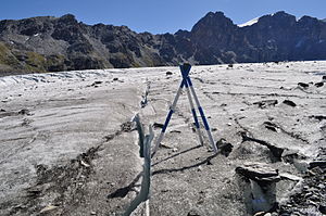
Corbassière Glacier and Grand Tavé (a little to the right of the center of the picture) |
||
| height | 3158 m above sea level M. | |
| location | Valais , Switzerland | |
| Mountains | Valais Alps | |
| Dominance | 0.46 km → Tavé de Chasseurs | |
| Coordinates | 590384 / 93535 | |
|
|
||
| Normal way | From the Col des Otanes over the north ridge | |
The Grand Tavé ( 3158 m above sea level. M. ) is a mountain east of Corbassièregletschers in the Pennine Alps in Switzerland . The summit, which is relatively easy to climb, forms the end point of the ridge from the Tournelon Blanc ( 3707 m above sea level ) north to the Col des Otanes and is known for its view.
Routes
The mountain is climbed almost exclusively from the north, from the Col des Otanes ( 2846 m above sea level ). You can get there either from Cabane de Panossiere or from Lac de Mauvoisin in Val de Bagnes .
From Col des Otanes it goes southeast through couloirs and over rubble to the north ridge of the mountain. The ascent then climbs slightly north over the broad north ridge to a notch just before the actual summit. From there it is easier to traverse a little way into the western flank than to head straight for the summit on the ridge.
The ascent is marked up to Col des Otanes . From the Col des Otanes the summit can be reached in less than an hour, from the Cabane de Panossiere 1½ hours are estimated.
literature
- Michael Waeber: Area Guide Valais Alps . 13th edition, Bergverlag Rother , Munich 2003, ISBN 3-7633-2416-X

