Gurev Gap
| Gurev Gap ( mountain saddle ) |
|||
|---|---|---|---|
|
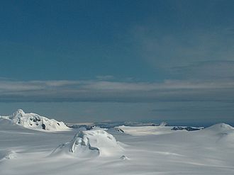
View from Miziya Peak to Gurev Gap (foreground: Leslie Hill , left: Burdick Ridge , right: Hurd Dome ) |
|||
| Compass direction | north | south | |
| height | 450 m | ||
| Livingston Island , South Shetland Islands | |||
| map | |||
|
|
|||
| Coordinates | 62 ° 35 ′ 23 ″ S , 60 ° 13 ′ 1 ″ W | ||
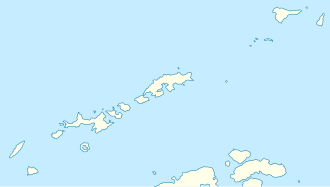
The Gurev Gap (English; Bulgarian Гурева седловина Gurewa sedlowina ) is a north-south orientation 2.8 km long, 450 m high, flat and icy mountain saddle on Livingston Island in the archipelago of the South Shetland Islands . It is 5.13 km northeast to north of the Rezen Knoll and 3.2 km north to west of Mount Bowles and separates the catchment area of the Kaliakra Glacier from the ice cap that flows off to Hero Bay . The mountain pass is part of the overland route from the Balkan snowfield to the Varna peninsula .
The Bulgarian Commission for Antarctic Geographical Names named it in 1997 after the Bulgarian meteorologist Wasil Gurew, who was active in several campaigns at the St. Kliment Ohridski station from 1994 onwards.
Web links
- Gurev Gap in the Composite Gazetteer of Antarctica (English)

