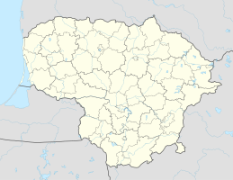
Port of Nida
| Port of Nida | |||
|---|---|---|---|
| Data | |||
| UN / LOCODE | LTNID | ||
| owner | Neringa municipality | ||
| operator | UAB “Neringos komunalininkas” | ||
| start of building | End of the 19th century | ||
| opening | End of the 19th century | ||
| Port type | Fishing - port , passenger port , inland port | ||
| Total area of the port | ? Ha | ||
| Piers / quays | 2 | ||
| website | NerKom.lt | ||
| Geographic information | |||
| place |
Nida , Neringa , Lithuania |
||
| republic | Lithuania | ||
| Country | Lithuania | ||
| Port of Nida | |||
| Coordinates | 55 ° 18 '9 " N , 21 ° 0' 36" E | ||
|
|||
The port of Nida ( Lithuanian Nidos uostas ; passenger port Nida , Nidos keleivinis uostas ) is a fishing , passenger and inland port in the municipality of Neringa on the Curonian Spit in Lithuania , not far from Klaipėda . The harbor is located in the southern part of Nida ( German Nidden ) on the lagoon side of the spit.
history
At the end of the 19th century a fishing port was established and later a steamship yard was built. In Soviet Lithuania the fishing base was developed and port approaches repaired. A hotel, the customs office building and part of the old fishermen's apartments were demolished. The Nida passenger port began to form from 1975 to 1976 when a pier was built. In 1991 a second pier was built.
In 1999 the status of the international inland port was granted. A border control post was set up in the passenger port.
Web links
- Neringa nori tvarkyti senus ir statyti naujus uostus (A. Kažukauskienė, I. Jankauskaitė, "Balsas.lt", September 21, 2012)

