Hall Lake
| Hall Lake | ||
|---|---|---|
| Geographical location | Nunavut (Canada) | |
| Tributaries | Hall River | |
| Drain | Ikerasak River | |
| Islands | Walrus Island , Kite Island | |
| Location close to the shore | Hall Beach | |
| Data | ||
| Coordinates | 68 ° 41 ′ N , 82 ° 17 ′ W | |
|
|
||
| Altitude above sea level | 6 m | |
| surface | 474 km² | |
| length | 48 km | |
| width | 16 km | |
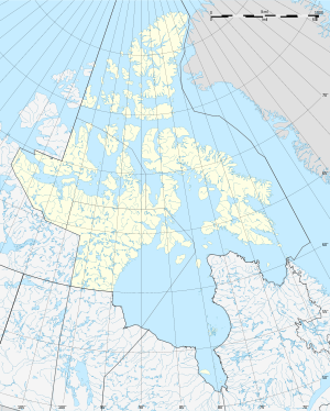
Hall Lake is a lake in the east of the Melville Peninsula in the Qikiqtaaluk Region of the Canadian territory of Nunavut .
The lake is 6 m high. Hall Lake is drained in the south over the 5 km long Ikerasak River to Roche Bay , a side bay of the Foxe Basin .
In the far north at Sarvaq Inlet , the lake is only 2 km from the Foxe Basin. In the extreme south, the lake approaches up to 3 km of the east coast of the Melville Peninsula. The total area of the lake is 491 km², of which 474 km² are water. There are two larger islands in the lake: Walrus Island and Kite Island .
The Inuit settlement Hall Beach is 30 km east of the lake on the east coast of the Melville Peninsula.
