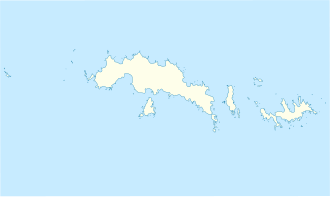
Hawes Col
| Hawes Col | |||
|---|---|---|---|
| Compass direction | west | east | |
| Signy Island , South Orkney Islands | |||
| Mountains | Gneiss Hills | ||
| map | |||
|
|
|||
| Coordinates | 60 ° 43 '32 " S , 45 ° 38' 32" W | ||
The Hawes Col is a mountain pass on Signy Island in the archipelago of the Southern Orkney Islands . In the Gneiss Hills it lies between the North Gneiss and the South Gneiss .
The Falkland Islands Dependencies Survey carried out surveys in 1947 and 1950. Aerial photographs were taken in 1968 by the Royal Navy . The UK Antarctic Place-Names Committee named it in 2004. It is named after Ian Hawes, limnologist for the British Antarctic Survey on Signy Island in 1979, 1980 and 1984.
Web links
- Hawes Col in the Composite Gazetteer of Antarctica (English)
