Heald Island
| Heald Island | ||
|---|---|---|
|
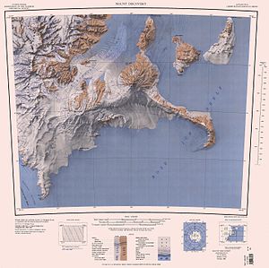
Topographic map with the Koettlitz Glacier (middle left) and the Heald Island within it |
||
| Waters | Koettlitz glacier | |
| Geographical location | 78 ° 15 ′ 0 ″ S , 163 ° 49 ′ 0 ″ E | |
|
|
||
| length | 5 km | |
The Heald Island is a 5-km island in front of the Scott Coast of the East Antarctic Victoria Land . With a height of up to 555 m , it rises from the ice of the Koettlitz Glacier immediately east of Walcott Bay .
It was discovered by participants in the Discovery Expedition (1901-1904) led by the British polar explorer Robert Falcon Scott . It is named after the Royal Navy sailor William Loftouse Heald (1876–1929), a participant in the expedition who saved the life of the expedition geologist Hartley Ferrar (1879–1932) in 1902 after he fell ill with scurvy .
Web links
- Heald Island in the Geographic Names Information System of the United States Geological Survey (English)
- Heald Island on geographic.org (English)

