Hecate Street
| Hecate Strait Hecate Strait |
||
|---|---|---|
| Hecate Strait | ||
| Connects waters | Dixon Entrance in the north | |
| with water | Queen Charlotte Sound to the south | |
| Separates land mass | Haida Gwaii | |
| of land mass | mainland canadian | |
| Data | ||
| Geographical location | 53 ° 4 ′ N , 130 ° 58 ′ W | |
|
|
||
| length | 267 km | |
| Smallest width | 48 km | |
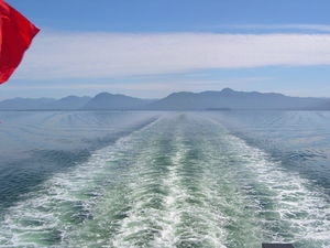
The Hecate Strait ( English Hecate Strait or Strait of Hecate ) is a navigable body of water in western Canada . It separates the Haida Gwaii archipelago from mainland British Columbia and is 267 km long and 129 km wide.
The strait connects to the Dixon Entrance to the north and Queen Charlotte Sound to the south .
The larger islands of Porcher Island , Gil Island , Pitt Island , Banks Island and Princess Royal Island are located here .
During the last maximum glaciation around 18,000 years ago, the strait was on the extreme western edge of the ice sheet, which was over 3000 m high and covered the northern half of North America. This ice sheet exerted so much pressure that the underlying rock layers in the east of the Hecate Strait sank much more than on the west bank. In addition, a kind of bubble developed in the west, so that before 12,500 uncal BP, the sea level on the west side of the strait was 150 m lower than it is today, but only 50 m higher on the east side at Port Simpson .
Web links
- Hecate Strait ( English, French ) In: The Canadian Encyclopedia .
Remarks
- ↑ Duncan McLaren, Andrew Martindale, Daryl Fedje, Quentin Mackie: Relict Shorelines and Shell Middens of the Dundas Island Archipelago , in: Canadian Journal of Archeology 35.1 (2011) 86-116, here: p. 86.


