High Mense
| High Mense | ||
|---|---|---|
| height | 1084 m nm | |
| location | Poland / Czech Republic border | |
| Mountains | Eagle Mountains | |
| Coordinates | 50 ° 21 '10 " N , 16 ° 21' 39" E | |
|
|
||
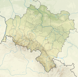
The Hohe Mense (Polish Orlica , Czech Vrchmezí ) is a 1084 m high mountain in the northern part of the Eagle Mountains . It is located eleven kilometers south of Duszniki-Zdrój ( Bad Reinerz ) on the border between Poland and the Czech Republic . The mountain is the northernmost peak of the Eagle Mountains and the headwaters of the Dědina and Bělá .
The summit of the Hohen Mense is covered with mica slate and offers a wide view of Bohemia and the Glatzer country . On the summit, the innkeeper Heinrich Rübartsch (1852-1930) built the "Rübartsch-Baude" named after him and a lookout tower, which was called Kaiser-Friedrich-Turm. In 1946 the building was destroyed by fire. On the eastern slope, the voivodship road 389 runs from Duszniki-Zdrój to Mostowice ( Langenbrück ) and on to Międzylesie ( Mittelwalde ). To the south lies the Sattlerkoppe ( Sedloňovský vrch ).
On the south-eastern slope there is the Polish winter sports resort Zieliec ( Grunwald ), in the west Sedloňov ( Sattel ) and Polom and in the northwest Olešnice v Orlických horách ( Gießhübel ).
Web links
Individual evidence
- ^ Wilhelm Patschovsky: Guide through Bad Kudowa and the surrounding area . Schweidnitz, published by Georg Brieger; 4th edition n.d., pp. 44f.
- ↑ http://www.orlickehory.net/mista/vrchmezi.htm


