
Ingoré
| Ingoré | |||
|---|---|---|---|
|
|||
| Coordinates | 12 ° 26 ′ N , 15 ° 33 ′ W | ||
| Basic data | |||
| Country | Guinea-Bissau | ||
| Norte | |||
| region | Cacheu | ||
| ISO 3166-2 | GW-CA | ||
| Residents | 7808 (2009) | ||

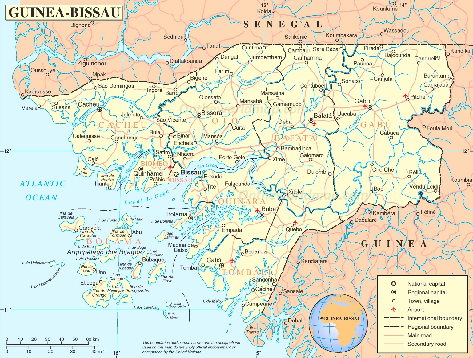
Ingoré is a city in northwest Guinea-Bissau with 7808 inhabitants.
It is the capital of Bigéne , an administrative sector of the Cacheu region with an area of 1082 km² and 51,412 inhabitants (as of 2009).
traffic

Ingoré is located on a mostly asphalt road that runs roughly parallel to the border with nearby Senegal . It comes from the coastal town of Varela and continues through Ingoré further east through Farim towards Bafatá and Gabú .
Sports
The football club Académica de Ingoré played several times in the country's top division, the Campeonato Nacional da Guiné-Bissau . In 2013 he was relegated to the second division, where he has since played in Group B ( Série B ) for promotion.
Web links
- Video of a development project at an Italian mission in Ingoré (2004) , available on YouTube
- Drive to Ingoré (2011) , Portuguese private video on YouTube
- Impressions from the market in Ingoré (2017) , short private video on YouTube
Individual evidence
- ↑ a b Inhabitants by region, sector and town by gender, 2009 census (p. 118f), PDF access from the National Statistics Office INE from January 6, 2018
- ↑ Annual Statistical Report Guinea-Bissau 2015 (p. 11), PDF access from the National Statistics Office INE of December 30, 2017
- ↑ Road map of Guinea-Bissau at www.ontheworldmap.com, accessed on January 6, 2018
- ↑ Websites for the football year 2013 and football year 2017 at the Rec.Sport.Soccer Statistics Foundation , accessed on January 6, 2018