
Bigene
| Bigene | |||
|---|---|---|---|
|
|||
| Coordinates | 12 ° 26 ′ N , 15 ° 33 ′ W | ||
| Basic data | |||
| Country | Guinea-Bissau | ||
| Norte | |||
| region | Cacheu | ||
| ISO 3166-2 | GW-CA | ||
| surface | 1,082.2 km² | ||
| Residents | 51,412 (2009) | ||
| density | 47.5 Ew. / km² | ||
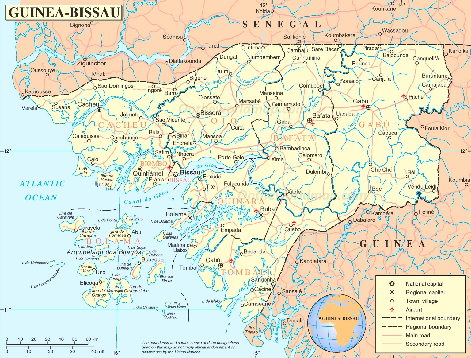
 Location of the Bigene sector in the Cacheu administrative region
|
|||

Bigéne , also Bigene , is an administrative sector in northwest Guinea-Bissau with an area of 1082 km² and 51,412 inhabitants (as of 2007). and 51,412 residents.
Its main town is Ingoré with 7808 inhabitants (as of 2009). The eponymous place Bigene is about 40 km east and has 1569 inhabitants (as of 2009) in two districts. About parallel to the border with nearby Senegal , a road runs here that connects the two places, with the town of Barro roughly in the middle.
Web links
Commons : Bigéne - collection of images, videos and audio files
- Italian TV report about an Italian missionary in the animist-Islamic Bigéne , recording of a RAI TV report , available on YouTube
Individual evidence
- ↑ Annual Statistical Report Guinea-Bissau 2015 (p. 11), PDF access from the National Statistics Office INE of December 30, 2017
- ↑ a b c Inhabitants by region, sector and town by gender, 2009 census (pp. 118f, port.), PDF access from the INE National Statistics Office of December 30, 2017
- ↑ Inhabitants by region, sector and town by gender, 2009 census (p. 124), PDF access from the INE National Statistics Office of January 6, 2018
- ↑ Road map of Guinea-Bissau at www.ontheworldmap.com, accessed on January 6, 2018