Isla Clarence
| Isla Clarence | ||
|---|---|---|
| Waters | Pacific Ocean | |
| Geographical location | 54 ° 10 ′ S , 71 ° 50 ′ W | |
|
|
||
| surface | 1 111 km² | |
| Residents | 5 (2001) <1 inh / km² |
|
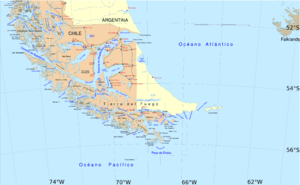
| The south of Patagonia and the archipelago separated by the Strait of Magellan | ||
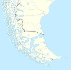
The Clarence Island ( Spanish : Isla Clarence) is an island in the south of Chile . The island forms part of the south coast of the Strait of Magellan . It is part of the Province of Tierra del Fuego and the municipality of Punta Arenas . It is one of the islands that form the strait. It is separated from Isla Santa Inés to the west by the Bárbara Canal .
The island extends from Canal Magdalena and Canal Cockburn to Canal Bárabra and the entire northern coast is characterized by bays that reach far into the island .
literature
- United States Hydrographic Office: South America Pilot . Ed .: US Government Printing Office. 2nd Edition. US Government Printing Office, 1916, p. z. B. 276-279 (English, archive.org ).
Individual evidence
- ↑ CHILE: División Político-Administrativay Censal 2001. Instituto Nacional de Estaditicas, accessed on January 28, 2017 .

