
Puná
| Puná | ||
|---|---|---|
 with Puná in the south (below) |
||
| Waters | Gulf of Guayaquil | |
| Geographical location | 2 ° 50 ′ S , 80 ° 9 ′ W | |
|
||
| length | 51 km | |
| width | 26 km | |
| surface | 855 km² | |
| Highest elevation | Zamba Palo 253 m |
|
| Residents | 6500 (2001) 7.6 inhabitants / km² |
|
| main place | Puná | |
 north is right |
||

The Isla de Puná ( Puná Island ) is an 855 km² large island in the south of the coast of Ecuador at the mouth of the River Guayas in the Gulf of Guayaquil of the Pacific . It is located south of the port city of Guayaquil between the minimal 10.3 km wide Jambeli Canal and the three km wide Morro Canal, which connect the mouth of the Guaya to the open gulf.
administration
The island forms a parroquia in the canton of Guayaquil in the province of Guayas .
history
In April 1531 a battle took place on the island between the Spanish conquistadors under Francisco Pizarro and the local Tumbez. The Tumbez had previously maintained their independence from the Inca , but they did not succeed against the Spaniards. Pizarro reached the mainland from Puná and began to conquer the Inca Empire. In 1541, in Puná, Pizarro's partisan and bishop of Peru (Cuzco), the Dominican Vicente de Valverde , was murdered by the Tumbez in response to the destruction of their places of worship and, according to chroniclers reports, eaten in a cannibalic rite. Since 1557, Puná has been the location of shipyards that mainly manufactured and repaired galleons . The island was the scene of battles between Spanish troops and pirates on several occasions in the 16th and 17th centuries.
geography
The island has about 6500 inhabitants (2001) who live from agriculture, fishing and mollusc picking. 94% of them are classified as “poor”. Many of the natural mangroves on the island have been destroyed by commercial shrimp farming . The first projects to restore it have started.
The main town of the same name Puná is located in the northeast of the island.
Others
In 1963, the type ship of the reefer ships of the Puná type was named after the island .
Web links
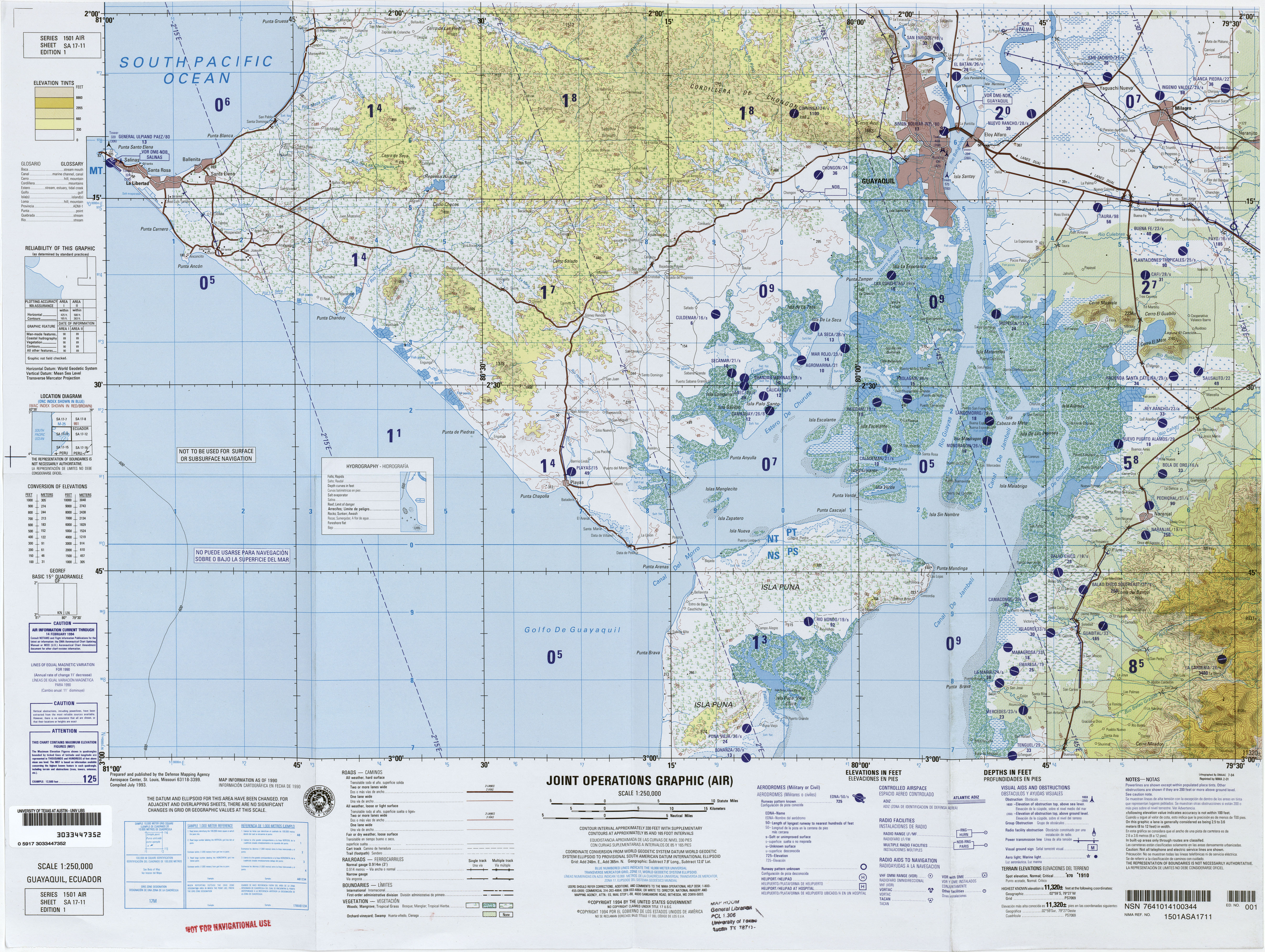
- Map sheet SA17-11 of the Latin America series , Joint Operations Graphic 1: 250,000 (with most of the island)
- Map sheet SA17-15 of the Latin America series , Joint Operations Graphic 1: 250,000 (with the southern tip of the island)