Jericho (Queensland)
| Jericho | |||||||
|---|---|---|---|---|---|---|---|
 Main road |
|||||||
|
|||||||
|
|||||||
|
|||||||
|
|||||||
|
|
|||||||
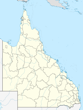
Jericho is a small town with about 300 inhabitants in the Australian state of Queensland . It is located 222 kilometers west of Rockhampton and 87 kilometers east of Barcaldine on the Capricorn Highway . The city is located in the Administrative Region (LGA) of the Barcaldine Region .
In December 2010, half of all houses in Queensland were flooded and around 40 residents had to be evacuated.
Individual evidence
- ↑ Australian Bureau of Statistics : Jericho (Qld) ( English ) In: 2016 Census QuickStats . June 27, 2017. Retrieved April 14, 2020.
- ↑ Calligeros, Marissa and Cameron Atfield: Second Queensland town evacuated due to floodwater . In: The Sydney Morning Herald , Fairfax, December 30, 2010.
