Barcaldine (Queensland)
| Barcaldine | |||||||
|---|---|---|---|---|---|---|---|
 Barcaldine old town 1962 |
|||||||
|
|||||||
|
|||||||
|
|||||||
|
|||||||
|
|
|||||||
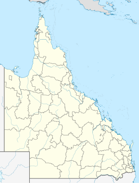
Barcaldine is a small town in the region Desert Uplands in Queensland , Australia , about 520 kilometers west of Rockhampton . The city is the administrative seat of the Local Administrative Area (LGA) Barcaldine Region . 1287 people live in the city, whose main source of income is wool and grazing. The name of the town goes back to the sheep loading station Barcaldine Downs , named after Barcaldine in Scotland .
history
Barcaldine played an important role in founding the Australian Labor Party .
Attractions
The main attraction was the Tree of Knowledge that stood in front of the train station. In 2006, however, the tree was poisoned with herbicides.
transport
Individual evidence
- ↑ a b Australian Bureau of Statistics : Barcaldine (L) ( English ) In: 2016 Census QuickStats . June 27, 2017. Retrieved April 13, 2020.

