Jezioro Kryspinów
| Jezioro Kryspinów | ||
|---|---|---|

|
||
| Geographical location | Kryspinów | |
| Places on the shore | Kryspinów | |
| Data | ||
| Coordinates | 50 ° 2 '46 " N , 19 ° 47' 55" E | |
|
|
||
| Altitude above sea level | 200 m npm | |
|
particularities |
artificially created quarry pond |
|

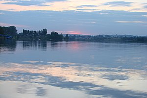
View from Piłsudski Hill
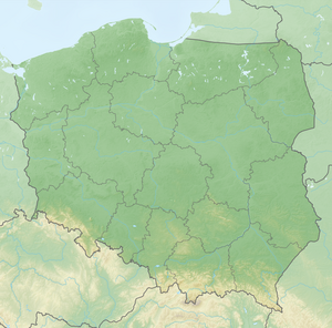
The Jezioro Kryspinów , even Kryspinów is called a Stretch of the Polish Malopolska province in the field of local Kryspinów directly on the western edge of the city of Krakow north of the Vistula River , west of the highway A4 and south of the international airport Krakow-Balice .
description
The lake is at an altitude of about 200 meters above sea level. It was built in place of a former gravel pit. The banks are largely overgrown with reeds and are used as breeding grounds for breeding birds.
tourism
There are several beaches on the shore of the lake. The lake is used by the Kraków people as a recreational area.
Web links
Commons : Lake Kryspinów - collection of pictures, videos and audio files
