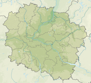
Jezioro Papowskie
| Jezioro Papowskie | ||
|---|---|---|
| Geographical location | Papowo Biskupie , Powiat Chełmiński , Kuyavian-Pomeranian Voivodeship | |
| Drain | Browina → Fryba → Vistula | |
| Data | ||
| Coordinates | 53 ° 15 '19 " N , 18 ° 33' 13" E | |
|
|
||
| Altitude above sea level | 80.1 m npm | |
| Maximum depth | 4.2 m | |
| Middle deep | 1.7 m | |
The Jezioro Papowskie is a lake in the Polish rural community Papowo Biskupie in chełmno county in the Kujawsko-Pomerania .
Papowo Biskupie is located at its southeastern end. Droga krajowa 91 runs to the west, 1 km away .
The lake is equipped with numerous bays and is a maximum of 240 meters wide and 850 meters long. Its size is given as 31.0 to 35.6 ha . The lake is an average of 1.7 meters and a maximum of 4.2 meters deep and lies at a height of 80.1 to 80.2 meters above sea level.
