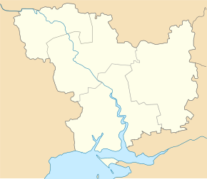
Kalyniwka (Witowka)
| Kalynivka | ||
| Калинівка | ||

|
|
|
| Basic data | ||
|---|---|---|
| Oblast : | Mykolaiv Oblast | |
| Rajon : | Vitovka district | |
| Height : | 20 m | |
| Area : | Information is missing | |
| Residents : | 3,471 (2004) | |
| Postcodes : | 57213 | |
| Area code : | +380 512 | |
| Geographic location : | 47 ° 3 ' N , 32 ° 11' E | |
| KOATUU : | 4823381301 | |
| Administrative structure : | 1 village | |
| Address: | вул. Фрунзе 9 57212 с. Калинівка |
|
| Statistical information | ||
|
|
||
Kalyniwka ( Ukrainian Калинівка ; Russian Калиновка Kalinowka ) is a village in the Ukrainian Oblast of Mykolaiv with about 3500 inhabitants (2004).
The village, founded in 1790 on the left bank of the Inhul , is located about 20 km northeast of the center of Mykolaiv Oblast and forms its own district council in the north of Witowka Rajon .
Kalynivka located on the territorial road T-15-08 and the highway N 11 over which the adjacent south-west urban-type Woskressenske the neighboring village and the northeast Mychajlo-Laryne can be reached. As part of the Soviet missile defense system , the Duga 1 reception system was located near the village until 1989 .
Individual evidence
- ^ Website of the village on the website of the Verkhovna Rada ; accessed on August 18, 2017 (Ukrainian)
- ↑ Cities and Villages in the Ukrainian SSR- Kalyniwka on imsu-mykolaiv.com ; accessed on August 18, 2017 (Ukrainian)

