Kent Glacier
| Kent Glacier | ||
|---|---|---|
|
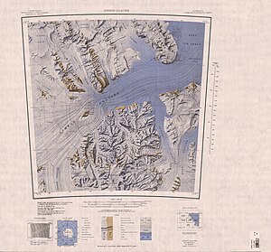
Topographic map (1: 250,000) with the Kent Glacier (below) |
||
| location | Ross Dependency , Antarctica | |
| Mountains | Queen Elizabeth Range , Transantarctic Mountains | |
| length | 24 km | |
| Coordinates | 82 ° 50 ′ S , 163 ° 10 ′ E | |
|
|
||
| drainage | Lowery Glacier | |
The Kent Glacier is a 15 miles long glacier in the Ross Dependency of Antarctica . In the Queen Elizabeth Range, it flows from the east side of the Markham Plateau in an easterly direction to the Lowery Glacier .
The northern group of the 1961 to 1962 campaign as part of the New Zealand Geological Survey Antarctic Expedition named it after the English county of Kent and the Royal Dukedom of Kent .
Web links
- Kent Glacier in the Geographic Names Information System of the United States Geological Survey (English)
- Kent Glacier on geographic.org (English)

