Keya Paha River
| Keya Paha River | ||
|
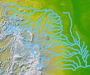
Course of the Keya Paha River |
||
| Data | ||
| location | South Dakota , Nebraska (USA) | |
| River system | Mississippi | |
| Drain over | Niobrara River → Missouri → Mississippi → Gulf of Mexico | |
| source | in southern South Dakota 43 ° 13 ′ 38 ″ N , 100 ° 23 ′ 18 ″ W |
|
| muzzle | in the Niobrara River near Butte, NE Coordinates: 42 ° 53 ′ 54 " N , 98 ° 59 ′ 6" W, 42 ° 53 ′ 54 " N , 98 ° 59 ′ 6" W
|
|
| length | 163 km | |
The Keya Paha River is a tributary of the Niobrara River , an estimated 163 km long and flows through the US states of South Dakota and Nebraska .
River course
The Keya Paha River rises on the prairies of southeastern South Dakota, on the Rosebud Indian Reservation , in Todd County , near Antelope, SD . It then flows east-southeast into northeastern Nebraska and joins the Niobrara River 16 km west of Butte, NE .
Between 1861 and 1882, the route of the Keya Paha from 43 ° N to its confluence with the Niobrara marked the border between Nebraska and the Dakota Territory .

