Kuril Road
| Kuril Road | ||
|---|---|---|
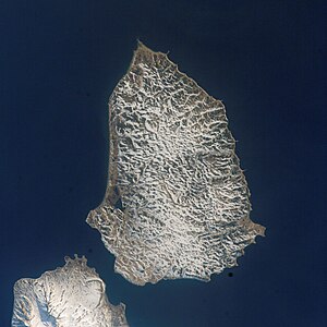
| Satellite image. From left to right: Paramushir , Second Kuril Street , Shumshu, Kuril Street, Cape Lopatka. | ||
| Connects waters | Sea of Okhotsk | |
| with water | Pacific Ocean | |
| Separates land mass | Kamchatka Peninsula | |
| of land mass | Shumshu | |
| Data | ||
| Geographical location | 50 ° 50 ′ N , 156 ° 35 ′ E | |
|
|
||
| Smallest width | 12.4 km | |
| Map of the northern Kuril Islands with Russian names: The Kuril Road is located in the extreme northeast | ||
The Kuril Strait (also First Kuril Strait , Russian Первый Курильский пролив ; Perwy Kurilski proliw ; Jap. 占守海峡 , "shumshu Street") is a 12.4 km wide strait between the northeastern Kurileninsel shumshu and Cape Lopatka , the southern tip of the peninsula Kamchatka , located. It forms the northernmost sea route between the Sea of Okhotsk and the Pacific Ocean .


