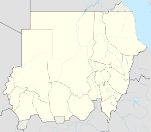
Kusti railway bridge
Coordinates: 13 ° 8 ′ 40 ″ N , 32 ° 43 ′ 40 ″ E
| Kusti railway bridge | ||
|---|---|---|
| Open swing bridge (1967) | ||
| Crossing of | White Nile | |
| place | Kusti , Sudan | |
| construction | Swing bridge | |
| overall length | 459 m | |
| location | ||
|
|
||
The Kusti Railway Bridge (also known as the Goz Abu-Goma Railway Bridge ) is a steel - rotating - girder bridge for rail traffic in Sudan over the White Nile .
The bridge is located in the east of the city of Kusti and in the south of the city of Rabak , about 900 m below the prestressed concrete road bridge built in 1983 . It is part of the Khartoum – Nyala railway line (or the Khartoum – El Obeid railway line ), which has apparently hardly or not been used on the other side of Rabak since the war of civil secession in South Sudan .
The bridge has a railroad track with a cape gauge and a walkway on both sides. It is 459 m long and consists of eight 48 m long lattice girders , the ends of which rest on a pair of round piers, and the actual 75 m long swing bridge, which is rotatably mounted on a central pillar.
It was built from 1909 to 1910 by Cleveland Bridge & Engineering Co. on behalf of the British Colonial Administration of Anglo-Egyptian Sudan .
Web links
- Kusti railway bridge. In: Structurae
- Franz Baltzer : The colonial railways with a special focus on Africa. Göschen'sche Verlagshandlung, Berlin-Leipzig 1916; Reprint-Verlag-Leipzig, ISBN 978-3-8262-0233-9 , p. 110
- A Sudan Bridge. In: The Singapore Free Press and Mercantile Advertiser (1884-1942), April 27, 1910, p. 8. On the National Library Singapore website

