Láscar
| Láscar | ||
|---|---|---|
| height | 5592 m | |
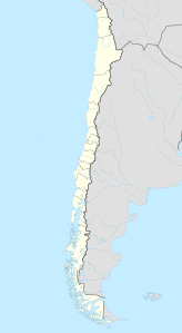
| location | Northern Chile | |
| Mountains | To the | |
| Coordinates | 23 ° 21 '55 " S , 67 ° 43' 47" W | |
|
|
||
| Type | Stratovolcano | |
| rock | Andesite , dacite | |
| Last eruption | July 2007 | |
The Láscar is the most active volcano in northern Chile .
Most important dates
The stratovolcano is 5592 m high and is located about 70 km southeast of San Pedro de Atacama . Neighboring it are the volcanoes Aguas Calientes and Acamarachi .
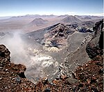
The volcano has 6, partially overlapping summit craters and a volcanic building consisting of two main parts.
Eruption story
The activity started first in the eastern part and later shifted to the western part of the volcano. The strongest eruption to date took place there around 26,500 years ago. After another major eruption 9,000 years ago, activity shifted back east.
Since the 19th century there have been records of small to medium-sized eruptions of the volcano, which took place relatively often. But there are also some large eruptions that caused ash fall hundreds of kilometers away. Its most powerful modern eruption occurred in 1993, with ashes also falling in Buenos Aires .
Modern eruptions
The volcano last erupted in July 2007. On April 18, 2006, during another eruption, the ash cloud rose more than 3000 m, according to press reports.
Since May 2009, clouds of steam and gas have been rising again from Láscar. The surrounding population is expecting a new eruption soon. The volcano is closely monitored.
Web links
- Láscar in the Global Volcanism Program of the Smithsonian Institution (English)
- Chilean volcano monitoring Sernagomin to Láscar, with webcam link (Spanish)
- El Mercurio Online (Spanish)


