Laaber Kaiserzipf
| Laaber Kaiserzipf | ||
|---|---|---|
| height | 381.9 m above sea level A. | |
| location | Vienna , Austria | |
| Mountains | Vienna Woods | |
| Coordinates | 48 ° 9 '28 " N , 16 ° 12' 7" E | |
|
|
||
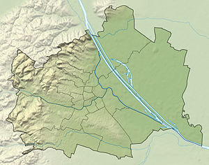
The Laaber Kaiserzipf is a 381.9 m high, wooded hill in the 13th district of Hietzing and represents a branch of the Vienna Woods .
geography
Laaber Kaiserzipf is located in the southwestern part of the Hietzing district on the border with the municipalities of Laab im Walde and Breitenfurt . The wooded hill is part of the Lainzer Tiergarten and the Vienna Woods Mountains , the northeasternmost foothills of the Eastern Alps . On the north-western slope of the Laaber Kaiserzipf lies the Schanzwiese, which leads to the Bärenberg in the north . Other neighboring hills are the Kaiserzipf in the east and the Kaufberg in the south .
history
The Laaber Kaiserzipf was first documented as Kaiserzipf in 1819 . The wooded area got its name from its proximity to Laab im Walde and from its former owner. The addition Zipf indicates the tapering shape.
literature
- Margarete Platt: The field names in the 10th, 12th and 13th districts of Vienna and in Inzersdorf. Dissertation Vienna 1997
Individual evidence
- ↑ Geodata Viewer of the Vienna City Surveyor → Search for Laaber Kaiserzipf
