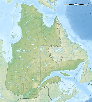
Lac Cambrien
| Lac Cambrien | ||
|---|---|---|
| Geographical location | Nunavik , North du Québec in Québec (Canada) | |
| Tributaries | Rivière Caniapiscau , Rivière Pons , Rivière de la Mort , Ruisseau Mitusich , Rivière Utapanaskwatikuch , Ruisseau Amikustikus | |
| Drain | Rivière Caniapiscau | |
| Data | ||
| Coordinates | 56 ° 24 ′ N , 69 ° 7 ′ W | |
|
|
||
| Altitude above sea level | 18 m | |
| surface | 133 km² | |
| length | 69 km | |
| width | 5 km | |
The Lac Cambrien is a lake in the Canadian province of Quebec .
The Lac Cambrien forms a large river widening of the Rivière Caniapiscau , a source river of the Rivière Koksoak , in the administrative region of North du Québec . The 133 km² lake is located on the Labrador Peninsula 180 km south of Kuujjuaq . The Lac Cambrien has a longitudinal extension in south-north orientation of 69 km. Its maximum width is 5 km. The Rivière Pons flows into the western shore not far from the upper end of the lake. Other tributaries are Rivière de la Mort and Ruisseau Mitusich . The Rivière Châteauguay meets the Rivière Caniapiscau below the lake.
The lake was named after the Cambrian era because of the sedimentary rocks that occur here .
