Lac Evans
| Lac Evans | ||
|---|---|---|
| Geographical location | Jamésie , North du Québec in Québec (Canada) | |
| Tributaries | Rivière Broadback , Rivière Théodat Passe Pastukamau | |
| Drain | Rivière Broadback | |
| Islands | Île Kirk | |
| Data | ||
| Coordinates | 50 ° 54 ′ N , 76 ° 58 ′ W | |
|
|
||
| Altitude above sea level | 232 m | |
| surface | 475 km² | |

|
||
| Satellite image | ||
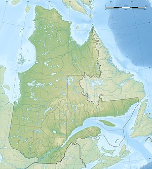
Lac Evans is a lake in the regional county town of Jamésie in the north du Québec administrative region of the Canadian province of Québec .
It has a water area of 475 km² and a total area including islands of 547 km². The lake is located in a swampy landscape about 130 km southeast of James Bay . The river Rivière Broadback flows through the lake. Other tributaries are the Rivière Théodat , which drains the Lac Le Gardeur to the east , and the Pastukamau pass , which forms the outflow of the Lac Dana lake to the west .
The lake is well known to canoeists because of its difficult portage over the Longue Pointe peninsula.
Individual evidence
- ↑ a b Natural Resources Canada - The Atlas of Canada - Lakes ( Memento from January 14, 2013 in the Internet Archive )
- ↑ Commission de toponymie du Quebec - Lac Evans
- ↑ Broadback River Trip 2005
