Lac Maskinongé
| Lac Maskinongé | ||
|---|---|---|
| Geographical location | Lanaudière in Quebec (Canada) | |
| Tributaries | Rivière Mastigouche | |
| Drain | Rivière Maskinongé | |
| Places on the shore | Saint-Gabriel , Saint-Gabriel-de-Brandon | |
| Data | ||
| Coordinates | 46 ° 19 '18 " N , 73 ° 23' 34" W | |
|
|
||
| Altitude above sea level | 142 m | |
| surface | 10 km² | |
| Catchment area | 754 km² | |
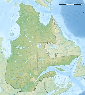
The Lac Maskinongé is a lake in the administrative region Lanaudière the Canadian province of Quebec .
The 10 km² lake is located in the Laurentine Mountains in the north of the MRC D'Autray at an altitude of 142 m . The small town of Saint-Gabriel is located on the south bank .
The lake has a catchment area of 754 km². The main tributary is the Rivière Mastigouche coming from the north . The Rivière Maskinongé drains the lake on its east bank into the Saint Lawrence River .
The name Maskinongé is derived from the term for "large pike " in the Algonquin languages .
The lake is ideal for various leisure activities: windsurfing, canoeing, kayaking, jet skiing and fishing. There is a public bathing beach.
Web links
Individual evidence
- ↑ Water Survey of Canada - Station 02OC007 ( Memento of the original from December 24, 2010) Info: The archive link was automatically inserted and not yet checked. Please check the original and archive link according to the instructions and then remove this notice.
- ^ Commission de toponymie du Québec: Rivière Maskinongé
- ^ Commission de toponymie du Québec: Lac Maskinongé
