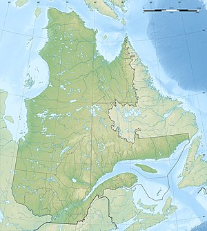
Lac Resolution
| Lac Resolution | ||
|---|---|---|
| Geographical location | Nunavik , North du Québec in Québec (Canada) | |
| Tributaries | Rivière George | |
| Drain | Rivière George | |
| Data | ||
| Coordinates | 55 ° 15 ′ N , 64 ° 28 ′ W | |
|
|
||
| Altitude above sea level | 451 m | |
| surface | 58 km² | |
| length | 19 km | |
| width | 8 kilometers | |
The Lac Resolution is a lake in the northeast of the Canadian province of Québec .
The Lac Resolution is located 150 km east of Schefferville on the upper reaches of the Rivière George , which flows through it in a northerly direction. The lake is drained by two branches of the Rivière George: the western branch flows to the neighboring Lac Advance . The Lac Resolution has a length of 19 km and a width of 8 km. The water area is 58 km².
The lake was named after the ship Resolution , with which James Cook reached the Bering Strait in 1778 .
