Lac des Deux Montagnes
| Lac des Deux Montagnes | ||
|---|---|---|

|
||
| Geographical location | Québec (Canada) | |
| Tributaries | Ottawa River | |
| Drain |
Rivière des Prairies , Rivière des Mille Îles , to the Saint Lawrence River |
|
| Places on the shore | Montréal | |
| Data | ||
| Coordinates | 45 ° 27 ′ N , 74 ° 0 ′ W | |
|
|
||
| surface | 150 km² | |
| length | 43 km | |
| width | 10 km | |

|
||
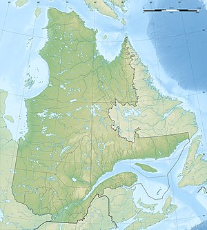
| Location of the Lac des Deux Montagnes (on the far right is Montréal) | ||
The Lac des Deux Montagnes (literally translated as "lake of the two mountains") is a 150 km² lake in the southwest of the Canadian province of Québec . It is located west of the Île de Montréal in the Hochelaga archipelago and forms the mouth of the Ottawa delta .
The lake has four outflows: the Rivière des Mille Îles in the northeast and the Rivière des Prairies in the east form the Île Jésus with the city of Laval . These arms of the river converge at the northern tip of the Île de Montréal and shortly afterwards flow into the Saint Lawrence River . Two branches of the Ottawa flow south around the Île Perrot into Lac Saint-Louis , a lake in the Saint Lawrence River; the slight difference in height is overcome with one lock each .
The village of Oka and the town of Deux-Montagnes are located on the north shore of the lake, which is especially popular with sailors . In 1612, Samuel de Champlain first named the lake Lac des Médicis , and around 1632 Lac des Soissons . It received its current name in 1684. This refers to the two highest peaks of the Mont Oka range on the north bank.
Web links
Individual evidence
- ↑ a b c Commission de toponymie du Québec - Lac des Deux Montagnes
