Lacs des Loups Marins
| Lacs des Loups Marins | ||
|---|---|---|

|
||
| Satellite image | ||
| Geographical location | Nunavik region in North du Québec , Québec (Canada) | |
| Tributaries | from Lac Bourdel , from the Petit Lac des Loups Marins , from Lac Bourg , from the Baie Pikutachikw |
|
| Drain | Rivière Nastapoka | |
| Data | ||
| Coordinates | 56 ° 31 ′ N , 73 ° 45 ′ W | |
|
|
||
| surface | 499 km² | |
| length | 84 km | |
| width | 12 km | |
| Catchment area | 8390 km² | |
|
particularities |
||
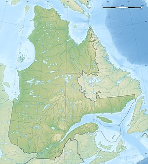
The Lacs des Loups Marins ( French for seal lakes , English also Lower Seal Lake ) are a network of lakes in the Nunavik region in North du Québec in the north of the Canadian province of Québec . The body of water is located about 150 km east of Hudson Bay and about 20 km northeast of Lac à l'Eau Claire in the Parc national Tursujuq . The lake is drained by the Rivière Nastapoka River westwards to Hudson Bay.
Its surface is at an altitude of 262 m (according to other sources 249 m), its water area covers 499 km² (including islands 576 km²), according to other sources 484 km².
The Lacs des Loups Marins are named after a population of ungava seals ( Phoca vitulina mellonae ), the only seal subspecies that lives in freshwater.
Individual evidence
- ↑ a b Natural Resources Canada - The Atlas of Canada - Lakes ( Memento from January 14, 2013 in the Internet Archive )
- ↑ a b c d Commission de toponymie Québec - Lacs des Loups Marins
- ↑ Rivière Nastapoka at the Lacs des Loups Marins gauge - hydrographic data from R-ArcticNET
- ↑ Harbor Seals in the Lacs des Loups Marins and eastern Hudson Bay drainage, TG Smith and G. Horonowitsch (PDF; 1.3 MB)
