Lechmere Viaduct
Coordinates: 42 ° 22 '3 " N , 71 ° 4' 8" W.
| Lechmere Viaduct | ||
|---|---|---|
| The viaduct of Cambridge seen from | ||
| use | Tram bridge | |
| Convicted | Green Line | |
| Crossing of | Charles River | |
| place | Boston and Cambridge , Massachusetts , United States | |
| Entertained by | Massachusetts Department of Transportation | |
| construction | Arch bridge | |
| completion | 1910 | |
| opening | June 1, 1912 | |
| location | ||
|
|
||
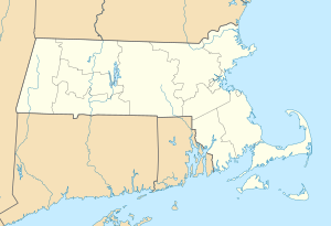
The Lechmere Viaduct (English Lechmere Viaduct , also Charles River Viaduct ) is an arched bridge designed as a viaduct that connects the cities of Boston and Cambridge across the Charles River in the state of Massachusetts in the United States . The structure was completed in 1910 and has since been used by the Green Line tram .
The viaduct is the last remaining part of the former as the elevated train operated Causeway Street Elevated , from after their demolition of the Green Line emerged. The bridge connects Lechmere Station in Cambridge (the northern terminus of Green Line E ) with Science Park Station on the Boston side of the river.
See also
Individual evidence
- ^ Charles River Viaduct. In: Structurae (English)
|
Upstream Charles River Dam Bridge MA 28 |
Crossings of the Charles River Lechmere Viaduct |
Downstream Charles River Bridge Railway Bridge |

