Luba (city)
| Luba | ||
|---|---|---|
|
|
||
| Coordinates | 3 ° 27 ' N , 8 ° 33' E | |
| Basic data | ||
| Country | Equatorial Guinea | |
| Región Insular | ||
| province | Bioko Sur | |
| ISO 3166-2 | GQ-BS | |
| height | 181 m | |
| Residents | 8378 (2007) | |
|
Luba, seen on the harbor, 2013
|
||
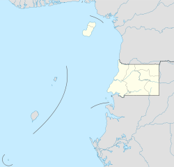
Luba ( called San Carlos in Spanish colonial times ) is a city in the Republic of Equatorial Guinea on the island of Bioko .
location
It is located on the west coast of the island in the province of Bioko Sur , of which it is the provincial capital, below volcanic peaks . The volcanoes are up to 2260 meters high and most likely erupted in the Holocene . The city itself is at an altitude of 181 meters above sea level.
population
The city has 8,378 inhabitants (2007 calculation), making it the second largest city on the island of Bioko .
Population development:
| year | Residents |
|---|---|
| 1983 (census) | 2,450 |
| 2001 (census) | 9,011 |
| 2007 (calculation) | 8,378 |
Infrastructure
The city can be reached by car on the road that leads from Malabo to Luba. From here there are further connections, both to Riaba in the east and, since 2013, to Ureka in the extreme south.
A new port with a larger draft has recently been opened, which now also allows oil ships to dock. The city's attractions are the beaches and a hospital in colonial style .
See also
Individual evidence
- ↑ Data on Luba from Falling Rain Genomics, accessed on July 13, 2010.
- ↑ Archived copy ( Memento of the original dated December 29, 2011 in the Internet Archive ) Info: The archive link was automatically inserted and not yet checked. Please check the original and archive link according to the instructions and then remove this notice.

