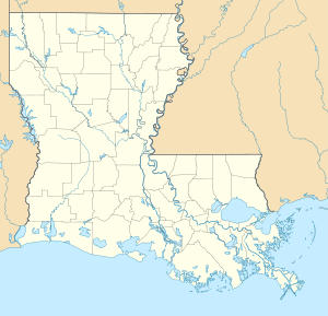
Manchac Marsh Bridge
Coordinates: 30 ° 18 ′ 11 ″ N , 90 ° 24 ′ 21 ″ W.
| Manchac Marsh Bridge | ||
|---|---|---|
| Manchac Marsh Bridge | ||
| Official name | Manchac Swamp Bridge | |
| use | Interstate 55 | |
| Crossing of | Manchac Swamp, Manchac Pass | |
| place |
Ponchatoula, Louisiana Manchac, Louisiana LaPlace, Louisiana |
|
| Entertained by | Louisiana Department of Transportation and Development | |
| construction | Yoke bridge with prestressed concrete slab superstructure | |
| overall length | 36,710 m | |
| height | 15 m | |
| building-costs | USD 260 million | |
| completion | 1979 | |
| location | ||
|
|
||
| Above sea level | 15 m | |
The Manchac Swamp Bridge (English Manchac Swamp Bridge) is a four-lane highway bridge in the US state of Louisiana . With a total length of 36.71 km, it is the third longest bridge in the world that spans a body of water. The bridge leads Interstate 55 over the Manchac Marsh and the Manchac Pass . The interstate runs for a third of the entire length in the state of Louisiana on this bridge, which was opened to traffic in 1979. It rests on 75 m long piles that are driven into the swamp. The construction cost was approximately $ 260 million.
Manchac is an Indian word that freely translated means back entrance . By Pass Manchac can from Lake Pontchartrain to the Lake Maurepas be reached and from there via the Bayou Manchac the Mississippi . This path thus represents a back entrance from the Gulf of Mexico to the river, which does not use its main mouth.
See also
Individual evidence
- ↑ 2004 Atlantic Boating Almanac: Gulf of Mexico , page 314
- ↑ Michele G. Melaragno: Preliminary Design of Bridges for Architects and Engineers , page 377
- ^ Richard Campanella, Time and Place in New Orleans: Past Geographies in the Present Day , 28

