Marlow Heights
| Marlow Heights | ||
|---|---|---|
|
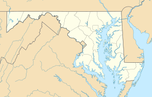
Location in Maryland
|
||
| Basic data | ||
| State : | United States | |
| State : | Maryland | |
| County : | Prince George's County | |
| Coordinates : | 38 ° 50 ′ N , 76 ° 57 ′ W | |
| Time zone : | Eastern ( UTC − 5 / −4 ) | |
| Residents : | 5,618 (as of 2010) | |
| Population density : | 1,060 inhabitants per km 2 | |
| Area : | 5.3 km 2 (approx. 2 mi 2 ) of which 5.3 km 2 (approx. 2 mi 2 ) is land |
|
| Postcodes : | 20746, 20748 | |
| Area code : | +1 301 | |
| FIPS : | 24-50750 | |
| GNIS ID : | 0597719 | |
Marlow Heights is a Census Designated Place in Prince George's County in the US state of Maryland with a population of over 5,000.
The residential suburb of Washington, DC is located between Capitol Hill and Andrews Air Force Base in close proximity to the Census Bureau .
Web links
Commons : Marlow Heights - collection of images, videos and audio files
