Marshall Archipelago
| Marshall Archipelago | ||
|---|---|---|
| Environment map | ||
| Waters | Sulzberger Ice Shelf | |
| Geographical location | 77 ° 0 ′ S , 148 ° 30 ′ W | |
|
|
||
| Number of islands | 10 | |
| Main island | Cronenwett Island | |
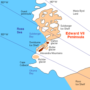
The Marshall Archipelago comprises a vast group of large, ice-covered islands in the middle of the Sulzberger Ice Shelf off the Saunders coast of the West Antarctic Marie Byrd Land .
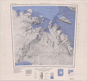
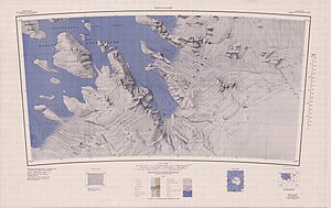
Many of the islands were discovered by the US polar explorer Richard Evelyn Byrd led expeditions in the years 1928 to 1930, 1933 to 1935 and 1939 to 1941. The geographic extent of the archipelago was recorded through work by the United States Geological Survey and aerial photography by the United States Navy between 1959 and 1965. At Byrd's suggestion, the archipelago was named after US General George C. Marshall (1880-1959) who, on a private initiative, supported Byrd's second expedition financially and advised her.
The Marshall Archipelago includes Cronenwett Island , Steventon Island and Grinder Island .
cards
Web links
- Marshall Archipelago in the Geographic Names Information System of the United States Geological Survey (English)
- Marshall Archipelago on geographic.org (English)


