Masjed-Soleyman dam
| Masjed-Soleyman dam | |||||||||
|---|---|---|---|---|---|---|---|---|---|
|
|||||||||
|
|
|||||||||
| Coordinates | 32 ° 1 '34 " N , 49 ° 24' 14" E | ||||||||
| Data on the structure | |||||||||
| Lock type: | Rockfall dam | ||||||||
| Construction time: | approx. 1993-2001 | ||||||||
| Height above valley floor: | 164 m | ||||||||
| Height above foundation level : | 177 m | ||||||||
| Building volume: | 13.5 million m³ | ||||||||
| Crown length: | 480 m | ||||||||
| Crown width: | 15 m | ||||||||
| Power plant output: | 2000 MW | ||||||||
| Data on the reservoir | |||||||||
| Storage space | 228 million m³ | ||||||||
| Catchment area | 27,548 km² | ||||||||
| Design flood : | 21,700 m³ / s | ||||||||
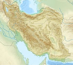
The Masjed Soleyman Dam (Karun 2) is one of several dams on the Karun in the Iranian province of Khuzestan . It is mainly used to generate hydropower and is 25 km away from Masjed Soleyman and 160 km from Ahvaz . The Shahid Abbaspur Dam (Karun 1) is 23.5 km upstream , 90 km below the Upper Gotvand Dam .
The hydropower plant was housed in an underground cavern and in the final stage will deliver 2000 MW which will be generated in 8 turbines. In the first phase, only four turbines were in operation. The dam is a rubble dam with a central clay core .
President Chātami inaugurated the dam on April 19, 2001 after about eight years of construction.
See also
- List of the largest dams on earth
- List of the largest reservoirs on earth
- List of the largest hydroelectric plants in the world
- List of power plants in Iran
- List of dams in the world (Iran)


