Mendota Bridge
Coordinates: 44 ° 53 ′ 6 " N , 93 ° 10 ′ 25" W.
|
|
||
|---|---|---|
| Three fields of the Mendota Bridge seen from the west | ||
| use | Four lanes of Minnesota State Route 55 | |
| Crossing of | Minnesota River | |
| place | Minneapolis-Saint Paul Metropolitan Area | |
| Entertained by | Minnesota Department of Transportation | |
| Building number | 4190 | |
| construction | Arch bridge with 13 fields | |
| overall length | 1253.8 m | |
| width | 21.6 m | |
| Clear height | 30.5 m | |
| vehicles per day | 39,000 vehicles / day | |
| opening | 1926, 1994 | |
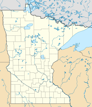
| location | ||
|
|
||
The Mendota Bridge runs Minnesota State Route 55 over the Minnesota River , between Fort Snelling and Mendota . It is the last road bridge over the Minnesota River before it flows into the Mississippi River at the point , which in the Dakota language means "Mendota" , in German about "Meeting of the Water" . At the north end of the bridge, traffic can turn to the Fort Road Bridge to cross the Mississippi River towards St. Paul . When driving over the bridge you can see the silhouette of the Twin Cities in the middle .
history
The structure was designed by CAP Turner and Walter H. Wheeler . Turner also planned the Aerial Lift Bridge in Duluth , Minnesota and the Liberty Memorial Bridge between Bismarck and Mandan in North Dakota .
Was built as the bridge in 1926, it was the longest of reinforced concrete -made arch bridge in the world. Although often referred to as the mile-long bridge, it is actually only 4119 feet or 1255 meters long. It has been on the National Register of Historic Places since 1979 .
Minnesota State Route 100 also ran over the bridge between 1940 and 1965 .
The bridge was rebuilt from 1992 to 1994. The old structure was dismantled above the arches and a new, wider deck was built.
swell
|
Upstream Interstate 494 bridge |
Crossing the Minnesota River |
Downstream Fort Snelling Park Foot Bridge |


