Menhir of Arenrath
| Menhir of Arenrath Devil stone | ||
|---|---|---|
|
|
||
| Coordinates | 49 ° 57 '33.4 " N , 6 ° 46' 14.2" E | |
| place | Arenrath , Rhineland-Palatinate , Germany | |
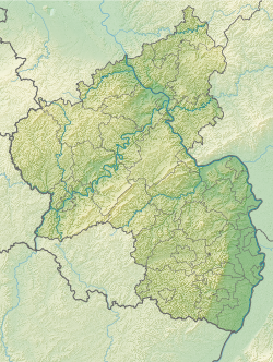
The menhir of Arenrath (also called Teufelsstein ) is a menhir near Arenrath in the district of Bernkastel-Wittlich in Rhineland-Palatinate .
location
The stone is located in a forest only a few hundred meters west of Bruch , but already in the municipality of Arenrath. The ban border between the two places runs at his location .
description
The menhir consists of greywacke or sandstone . Both types of rock are not in the immediate vicinity. It has a height of 240 cm, a width of 120 cm and a depth of 80 cm. The stone is pillar-shaped and no longer stands upright. On the west side it has a recess in the form of a German "z", which is popularly interpreted as the devil's paw.
The menhir in regional sagas
According to a legend , a builder from Klausen had persuaded the devil to help build the church there by pretending that a brothel or pub should be built. The devil then agreed to bring stones. When one day he heard bells ringing from the construction site on the way from Binsfeld to Bruch, he realized that he had been outwitted and angrily threw the stone he was carrying to the ground. The imprint of his paw can still be seen.
literature
- Johannes Groht : Menhirs in Germany. State Office for Monument Preservation and Archeology Saxony-Anhalt, Halle (Saale) 2013, ISBN 978-3-943904-18-5 , pp. 306, 321–322.
- Horst Kirchner: The menhirs in Central Europe and the menhir thought (= Academy of Sciences and Literature. Treatises of the humanities and social sciences class. Born 1955, No. 9). Wiesbaden 1955, p. 156.
Web links
- The Megalithic Portal: Devil's Stone at break
