Mernoq (island)
| Mernoq | ||
|---|---|---|
| Mernoq (right) | ||
| Waters | Tasiusaq Bay , Baffin Bay , Atlantic Ocean | |
| Archipelago | Upernavik archipelago | |
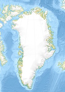
| Geographical location | 73 ° 44 '50 " N , 56 ° 17' 0" W | |
|
|
||
| length | 8.1 km | |
| width | 7.9 km | |
| surface | 23.8 km² | |
| Highest elevation | 368 m | |
| Residents | uninhabited | |
Mernoq is an uninhabited island in the Upernavik district of Avannaata Kommunia , Greenland .
The island in Tasiusaq Bay is part of the Upernavik Archipelago .
history
The island was inhabited between 1891 and 1972. The settlement was called Kuuk and was located in the southern part of the island at Cape Qernertunnguaq .
geography
Mernoq is located in Tasiusaq Bay in the north-central part of the Upernavik Archipelago . It is located south of Qullikorsuit (divided by the Mernup Tunua Strait ), southwest of Paarnivik and northeast of Tuttoqqortooq .
The highest point is an unnamed peak with a height of 386 meters in the central part of the island.
| Surname | place | Latitude N. | Longitude W |
|---|---|---|---|
| Mernup Eqqua | Northwest Cape | 73 ° 46'20 ″ | 56 ° 24'50 ″ |
| Nannuffik | Eastern Cape | 73 ° 43'13 " | 56 ° 09'50 " |
| Qernertunnguaq | Southern Cape | 73 ° 42'20 ″ | 56 ° 11'40 ″ |
climate
The annual mean temperature is −12 ° C. The highest average temperature is in July with 8 ° C, the lowest in March with -25 ° C.
Individual evidence
- ^ Robert Petersen: Settlements, kinship and hunting grounds in traditional Greenland: A comparative study of local experiences from Upernavik and Ammassalik . Danish Polar Center, 2003, ISBN 978-87-635-1261-9 , pp. 105, 107.
- ^ Upernavik Avannarleq , Saga Map, Tage Schjøtt, 1992

