Mont Pelat
| Mont Pelat | ||
|---|---|---|
|
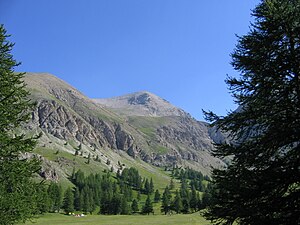
Mont Pelat, view from the Plateau de Laus |
||
| height | 3053 m | |
| location | Department Alpes-de-Haute-Provence , France | |
| Mountains | Maritime Alps | |
| Coordinates | 44 ° 15 '53 " N , 6 ° 42' 21" E | |
|
|
||
|
View from the summit to Lac d'Allos |
||
|
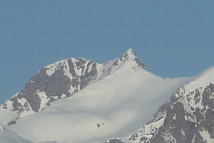
Mont Pelat, view from the south |
||
At 3,053 m, Mont Pelat is the highest peak of the Massif du Pelat in the French Maritime Alps . The summit is located in the Mercantour National Park, southeast of the Col d'Allos .
The mountain can be climbed from Lac d'Allos or from Col de la Cayolle without any alpine difficulties and offers a view of the surrounding mountain region, with good visibility as far as the Mediterranean Sea and Mont Blanc .
In 1994, 22 Alpine ibexes were relocated as part of a comprehensive protection program , and their migrations are tracked with tracking devices.
360 ° alpine panorama from the summit of Mont Pelat
Web links
Commons : Mont Pelat - collection of images, videos and audio files


