Mount Guyot, New Hampshire
| Mount Guyot | ||
|---|---|---|
|
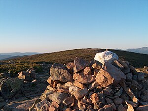
Summit of Mount Guyot |
||
| height | 1396 m | |
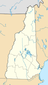
| location | New Hampshire , USA | |
| Mountains | White Mountains , Appalachian Mountains | |
| Coordinates | 44 ° 10 ′ 9 ″ N , 71 ° 32 ′ 3 ″ W | |
|
|
||
| rock | granite | |
Mount Guyot is a mountain in Grafton County in the US state of New Hampshire . It is part of the White Mountains in the northern Appalachians. A section of the Appalachian Trail leads over its rather flat arched summit .
The mountain was named after the geologist and geographer Arnold Henri Guyot , who made the first exact maps of the Appalachians in the 19th century. The next higher peak is the 1494 m high South Twin Mountain .

