Mount Hungabee
| Mount Hungabee
Hungabee Mountain
|
||
|---|---|---|
|
View from the northeast of Mount Hungabee |
||
| height | 3490 m | |
| location | Alberta , British Columbia ( Canada ) | |
| Mountains | Canadian Rockies | |
| Dominance | 5.77 km → Mount Temple | |
| Notch height | 987 m ↓ Wastach Pass (2503 m) | |
| Coordinates | 51 ° 19 '59 " N , 116 ° 17' 3" W | |
|
|
||
| First ascent | 1903 | |
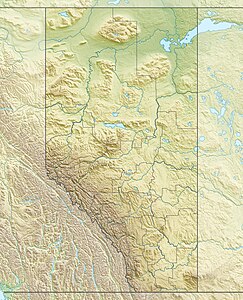
The Mount Hungabee officially mapped as Hungabee Mountain is a 3,490 m high mountain in the Bow Range in the Canadian Rockies .
It lies on the boundaries of Banff National Park and Yoho National Park on the North American continental divide at the end of Paradise Valley. It was named after the word used in the language of the Nakoda Indians for chief, as its summit towers over the surrounding area.
It was first climbed in 1903 by Herschel Clifford Parker and his mountain guides Hans Kaufmann and Christian Kaufmann .
See also
Web links
Commons : Hungabee Mountain - collection of pictures, videos and audio files
- Hungabee Mountain . In: BC Geographical Names (English)
- Hungabee Mountain . In: Canadian Mountain Encyclopedia . (English)
- Mount Hungabee on Peakbagger.com (English)
- Mount Hungabee , on Peakfinder.com (English)

