Napoléonsgaard
| Napoléonsgaard | ||
|---|---|---|
|
Water tower and transmission masts on the Napoléonsgaard |
||
| height | 554.3 m | |
| location | Canton of Redingen , Grand Duchy of Luxembourg | |
| Mountains | Ösling , Ardennes | |
| Dominance | 36 km → Kneiff | |
| Coordinates | 49 ° 50 '55 " N , 5 ° 53' 5" E | |
|
|
||
| rock | slate | |
| particularities | Highest peak in the canton of Redingen | |
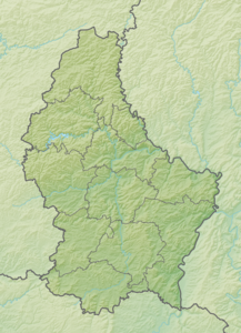
The Napoléonsgaard is the third highest point in Luxembourg and has a height of 554.3 meters. It is located in the village of Schwiedelbruch , which belongs to the municipality of Rambruch . Thus it represents the highest elevation in the canton of Redingen .
On the elevation is a water tower , which was completed in 1928, and two transmission masts. Until 1952 it was considered the highest elevation in the Grand Duchy.
Individual evidence
- ^ Geoportail: Napoléonsgaard . In: Géoportail . ( geoportail.lu [accessed September 2, 2017]).
- ↑ Le point culminant du Luxembourg - Administration du cadastre et de la topographie - January 2010. Accessed on September 2, 2017 (French).
Web links
Commons : Napoléonsgaard - collection of images, videos and audio files

