Narcondam
| Narcondam | ||
|---|---|---|
| Narcondam | ||
| Waters | Andaman Sea | |
| Geographical location | 13 ° 26 '55 " N , 94 ° 15' 51" E | |
|
|
||
| length | 4.2 km | |
| width | 2.4 km | |
| surface | 6.81 km² | |
| Highest elevation | Narcondam 710 m |
|
| Residents | 17th (2001) 2.5 inhabitants / km² |
|
| main place | Narcondam | |
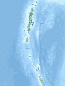
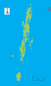
| Map of the volcanic island of Narkondam | ||
Narkondam , ( English Narcondam , occasionally Narcondum ) is a volcanic island in the Indian Ocean , which is about 114 km east of the Andaman archipelago . It has dimensions of 2.4 × 4.2 km and reaches a height of 710 m above sea level. The surface area is 6.81 km². As of the 2001 census, the island had a total of 17 inhabitants, all of whom live in one household in the settlement of the same name, Narcondam. A map from 1923 shows the island as uninhabited. Mainly coconuts are harvested on the largely forested island .
Narkondam belongs politically to the Indian Union Territory of the Andaman and Nicobar Islands . The stratovolcano- type volcano of the same name , which forms the island, was inactive for a long time, but there are unconfirmed reports of volcanic activity from June 2005 . 150 km to the southwest is the only proven active volcano in the region on Barren Island .
The island is home to the endemic Narcondam annual bird ( Aceros narcondami ) and the Andaman scops owl ( Otus balli ) and is therefore a nature reserve as the Narcondam Island Wildlife Sanctuary .
Web links
- Narcondam in the Global Volcanism Program of the Smithsonian Institution (English)
- Narcondam Island (English) on volcanolive.com
- Narcondam Island Wildlife Sanctuary on birdlife.org (English)
Individual evidence
- ↑ UNEP Islands (English)
- ^ Island wise Statistical Outline - 2008. Narcondam Island. ( Memento of the original from November 8, 2011 in the Internet Archive ) Info: The archive link was inserted automatically and has not yet been checked. Please check the original and archive link according to the instructions and then remove this notice. (PDF; 108 kB)


