New Norfolk
| New Norfolk | |||||||
|---|---|---|---|---|---|---|---|
 New Norfolk from Pulpit Rock Overlook |
|||||||
|
|||||||
|
|||||||
|
|||||||
|
|||||||
|
|
|||||||
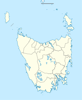
New Norfolk is a city on the Derwent River in southeast Tasmania in Australia . It is located 35 km northwest of Hobart on the Lyell Highway .
history
The pioneers who settled the city came from Norfolk Island in 1808 . They worked the agriculturally productive area around this town and from 1860 planted hops, which could soon be harvested in considerable quantities.
The first road to connect Hobart with New Norfolk was built in 1818. The first railroad reached the city in 1887. In 1827 the New Norfolk Insane Asylum was built, later the Royal Derwent Hospital , which was the largest institution for the mentally handicapped in Tasmania for the next 173 years. For several years after 1848, New Norfolk was the exile of the leader of the Irish nation, Terence MacManus , who stayed in the cottage "The Grange" that still stands today. MacManus later allied with Irish rebel William Smith O'Brien .
During the 1940s, a newsprint mill was built at Boyer , which drove the industrial development of the area. The railway line was operated from that time by the Derwent Valley Railway .
Personalities
- Ossie Nicholson (1906–1965), cyclist and record driver
- Barnard Walford (1768–1826), engraver and first Austrian to set foot on Australian soil
Web links
Individual evidence
- ^ Australian Bureau of Statistics : New Norfolk ( English ) In: 2016 Census QuickStats . June 27, 2017. Retrieved April 3, 2020.
