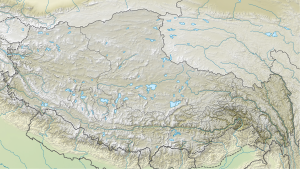
Nganglong Kangri
| Nganglong Kangri | ||
|---|---|---|
| height | 6710 m | |
| location | Ngari , Tibet Autonomous Region ( PR China ) | |
| Mountains | Tibet highlands | |
| Dominance | 236.59 km → Reo Pargial | |
| Notch height | 1762 m ↓ ( 4948 m ) | |
| Coordinates | 32 ° 48 ′ 30 " N , 81 ° 0 ′ 3" E | |
|
|
||
| First ascent | September 14, 2004 | |
The Nganglong Kangri (also Aling Shan or Kang Ngolok ) ( Chinese 阿 陵 山 , Pinyin Ālíng Shān ) is the highest mountain in the mountain range of the same name in the southwestern part of the highlands of Tibet .
The Nganglong Kangri massif is located north of the Transhimalaya . The mountain Nganglong Kangri has a height of 6710 m (according to other sources: 6720 m ). The mountain ridge has an alpine character. Firn fields and glaciers are located above an altitude of 4500 m . There is a high mountain desert. The southern flank of the Nganglong Kangri is drained by the Indus .
Ascent history
The first ascent of Nanglong Kangri was made on September 14, 2004 by Derek Buckle, Martin Scott and Toto Gronlund. The ascent route led over the southeast face to the summit ridge.
Web links
- Nganglong Kangri on Peakbagger.com (English)
