Norfolk offshore wind farm
| Norfolk | |||
|---|---|---|---|
| location | |||
|
|
|||
| Coordinates | 52 ° 52 '12 " N , 2 ° 41' 24" E | ||
| country | United Kingdom | ||
| Waters | North Sea | ||
| Data | |||
| Type | Offshore wind farm | ||
| Primary energy | Wind energy | ||
| power | up to 3,600 MW | ||
| Website | norfolkvanguard.vattenfall.co.uk | ||
| was standing | 2016 | ||
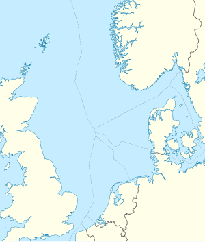
Norfolk is a planned offshore wind farm in the United Kingdom in the North Sea . The area is east of Norfolk . The wind farm could have up to 3,600 MW and thus supply 2.4 million households. That would make it one of the largest wind farms in the world.
It consists of the two sub-areas Norfolk Boreas and Norfolk Vanguard , which are both named after Horatio Nelson's ships , the Boreas and the Vanguard .
Norfolk Vanguard
Vattenfall is currently working on the realization of this area. Up to 1,800 MW of installed capacity could arise in the sub-area. This would supply 1.2 million households. In 2017 [obsolete] the public participation process is to begin.
Norfolk Boreas
According to Vattenfall, the Boreas sub-area will be developed later. 1,800 MW of power could also be installed there.
See also
Web links
- Norfolk Vanguard. norfolkvanguard.vattenfall.co.uk, accessed September 5, 2016 .
