Oppstrynsvatnet
| Oppstrynsvatnet | ||
|---|---|---|

|
||
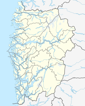
| Geographical location | Stryn ( Vestland ) | |
| Tributaries | Hjelledøla | |
| Drain | Stryneelva | |
| Data | ||
| Coordinates | 61 ° 56 '6 " N , 6 ° 55' 20" E | |
|
|
||
| Altitude above sea level | 29 moh. | |
| surface | 22.87 km² | |
| scope | 38.55 km | |
| Maximum depth | 230 m | |
Oppstrynsvatnet (or Oppstrynsvatn ) is the name of a lake in the municipality of Stryn in the Norwegian province of Vestland . Oppstryn is on the south bank .
The road RV 15 leads mostly along the south bank, where it changes over the lake to the north side almost at the western end of the lake. East of the lake it meets the Gamle Strynefjellsvegen .
The main tributary is on the east side of the lake and is Hjelledøla from Hjelledalen . There are also some smaller streams and waterfalls that flow into the north and south sides of the lake. The outflow of the lake to the west is the Stryneelva , which flows into the Nordfjord .
The mountain Hjellehyrna (1368 moh) rises steeply on the east side of the lake. Northeast of the Nakken (1236 moh), north of the Lægdekulen (1433 moh) and the Marsåhyrna (1340 moh). To the south lies the Geitafjellhyrna (1626 moh), the Storskredfjellet (1742 moh), Kampen (1648 moh) and the Nonshyrna (1516 moh). In this area there is also an extension of the Tindefjellbreen glacier above the lake .
See also
Web links
References and footnotes
- ↑ The suffix "-et" is the Norwegian form of the definite neuter article . Hence there are two forms, Oppstrynsvatnet and Oppstrynsvatn .
