Papilys
| Papilys | ||
| State : |
|
|
| District : | Panevėžys | |
| Rajong municipality : | Biržai | |
| Coordinates : | 56 ° 7 ' N , 25 ° 0' E | |
| Inhabitants (place) : | 236 (2011) | |
| Time zone : | EET (UTC + 2) | |
| Postal code : | LT-41012 | |
|
|
||
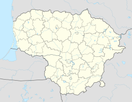
Papilys is a "small town" miestelis with 236 inhabitants (2011) in the Rajongemeinde Biržai Papilys is located between Biržai and Pandėlys , on the KK123 highway (Biržai – Pandėlys– Rokiškis ), 5 km from Skrebiškiai , 11 km from Kvetkai , 7 km from Kučgalys , 6 km from Satkūnai , 18 km from Parovėja and 11 km from Būginiai . The place is the center of the Papilis district . There is the Catholic Church , built in 1936, and the Evangelical Church of Papilis , built in 1595, as well as a secondary school, a library and a post office (LT-41012). The Rovėja flows through Papilys . During the Soviet period Papilys was a collective farm central settlement.
people
- Janusz Radziwiłł (1612–1655) , aristocrat, magnate, civil servant
- Kazys Binkis (1893-1942), author
- Kazys Jakubėnas (1908–1950), poet
literature
- Papilys. Lietuviškoji tarybinė enciklopedija , VIII t. Vilnius: Mokslo ir enciklopedijų Leidybos institutas, 1981. T.VIII: Moreasas-Pinturikjas, 449 psl.
Web links
Commons : Papilys - collection of images, videos and audio files
